Volcanoes are powerful, they shape and form the landscape. Many thousands of years pass in the life cycle of volcanoes and they contribute in many ways to the eco systems in which they exist.
Along the west coast of North America is the Cascade Mountains, this area is full of many different volcanoes. Perhaps the most famous of these would be Mount St Helens in Washington State.
In this blog we discuss Mount St Helens and the eruption in 1980 that changed the world.
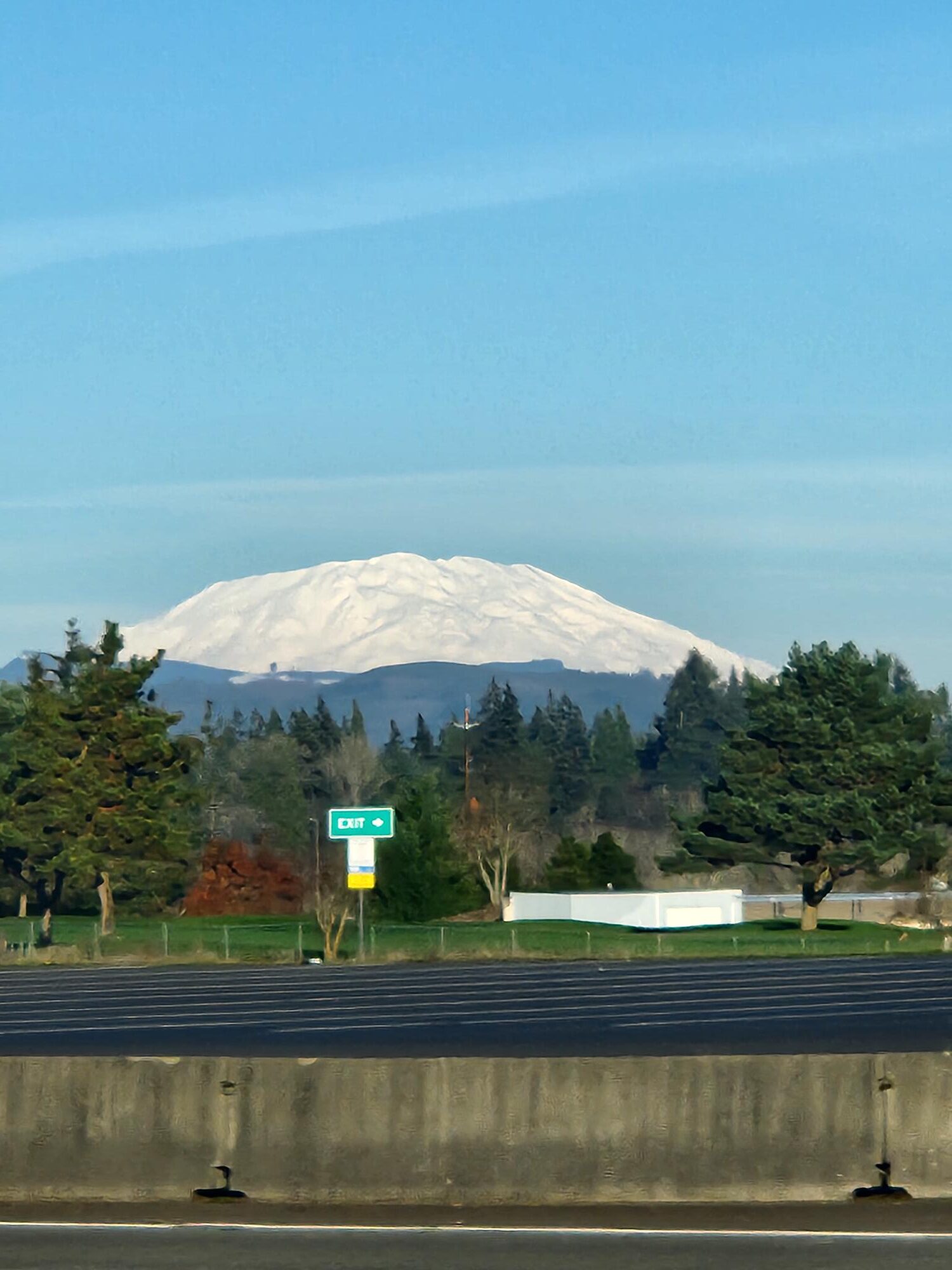
May 18th, 1980; was a Sunday like any other. Until 8:32am when Mount St Helens erupted unleashing devastation that had not been seen before. The volcano had been brewing for months due to a series of microquakes and then eventually erupted. That day remains a tragedy due to the 57 lives that where lost. The surrounding area was completely destroyed killing many animals, plants and trees as well. Day turned to night and ash rained down as mud in places, it was truly horrifying.
What caused this volcano to erupt with such force that it destroyed everything in its path? The Cascadia Subduction Zone and Cascade Volcanic Arc is a tectonically active region along the west coast of North America. It runs from Northern California to Southern British Columbia and is formed by the subduction of the Juan De Fuca Plate (Pacific Plate) under the North American tectonic plate. The plate subducts underneath the continent and burns off deep within the earth. The rock of which the plate is composed of is melted and forms into magma and gases. This magma and gas rises through the faults in the earth’s crust and creates volcanoes and many other geologic formations.
These volcanoes are iconic pointy snowcapped mountains that dominate the landscapes around them. Mount St Helens was considered the Mount Fuji of North America until the 1980 eruption. It had a perfect cone shaped form and represented a prime example of a stratovolcano. When it erupted the mount was changed, a huge part of the mountain was displaced in the eruption. The north face of the mountain was annihilated and the pyroclastic flows spread out for 18 miles.
The pyroclastic flows from the eruption were 400F and traveled 350-400 miles per hour. Trying to escape the pyroclastic flows was almost impossible. Anybody in the redzone would have had no time to react as the ash flow barreled toward them. It destroyed anything it came into contact with and leveled the forest.
Mudflows were another issue, the glaciers atop Mount St Helens melted causing lahars to come cascading down the mountain. The Toutle River was disrupted and mudflows took out houses, roads and bridges in the area. Logging trucks were destroyed and the timber plots were ruined. The effects of mudflows would create many issues for accessing the area. Many people lost houses and properties in the area.
The ash clouds would cause many issues for people all along the west coast as ash rained down on them in the form of mud. This created many issues for people in cities who were scooping ash off their driveways and cars. This ash was incredibly volatile for machinery and caused many problems for people. Up in Vancouver British Columbia the eruption could be heard by residents. People heard it for hundreds of miles and the blast was so powerful that it was heard all the way up in Canada.
There are many key figures in this story who were stationed around the mountain that day. These men and women were documenting the story as it happened and were unfortunately lost to the eruption.
David Johnstone a volcanologist with the USGS was out studying Mount St Helens when it erupted. He had been surveying and documenting the volcano, his last words to Vancouver Washington were “ Vancouver, Vancouver, this is it!”. David was never found; Observatory ridge is named after him in honor of his sacrifice.
Reid Blackburn was another person who was out that day. He was stationed at Coldwater camp and was a photographer. He was taking pictures of the volcano when it erupted, he fought until the last second try and preserve the history of the event. He was found in his car that had been partially buried in ash. Joe Bongiovanni of the North Fork Survivors Center is working to continue Reid’s legacy and preserve the artifacts that have been recovered.
Robert Landsberg was another photographer who was near Mount St Helens during the event. He took pictures up to the last second and then placed the camera in his bag and covered it with his body in the hope to preserve the camera footage. Robert succeeded and managed to save the film but sacrificed himself in the process. Mr. Landsberg is a hero for his acts of bravery and dedication to the craft. His photos were heat damaged in the eruption but are incredibly valuable artifacts of what the eruption looked like. Robert was killed by the pyroclastic flows and his car was found parked; he fought till the very end.
The North Fork Survivors Center is an amazing place. It is a museum that is fighting to document and preserve the history of this event. Joe Bongiovanni; the curator, has done a fantastic job of working to recover, catalogue and document the various artifacts and stories from the event. The museum is full of incredible artifacts and photos which tell the story of what happened from many different viewpoints. Located along the Spirit Lake Highway as you drive to Observatory ridge, it is a must stop place to see this history of Mount St Helens.
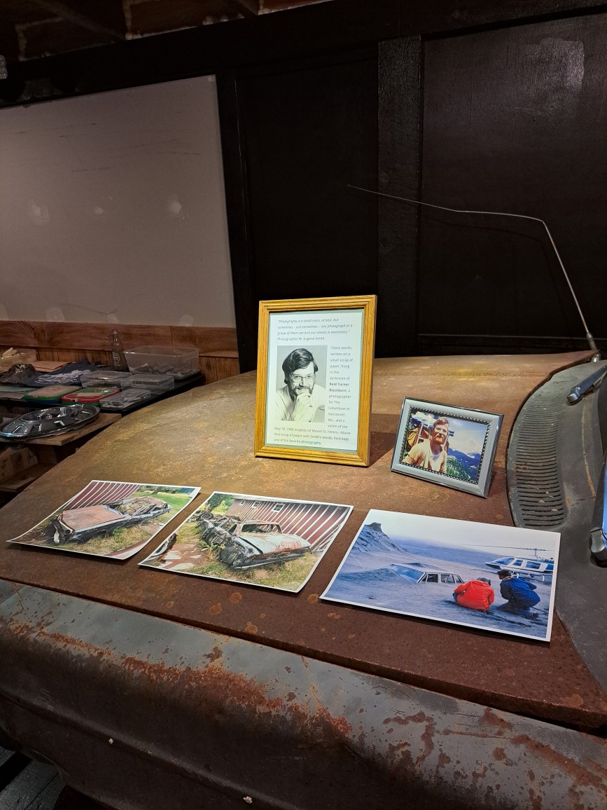
North Fork Survivors Centre
Many lives were lost that day and telling their stories is an important way of honoring the sacrifices that were made. Nothing on this scale had ever been observed in the United States, it changed the region forever and the scars can still be seen to this day.
The surrounding area around Mount St Helens is full of logging plots. Loggers were out working the day of the eruption and they have never been found. These hard-working men were cutting timber to supply wood for houses and many other applications. They were in the blast radius and many of the logging operations of Weyerhaeuser were destroyed. There are efforts to rehabilitate the area and it is going really well, many trees were completely destroyed, causing issues for the forest.
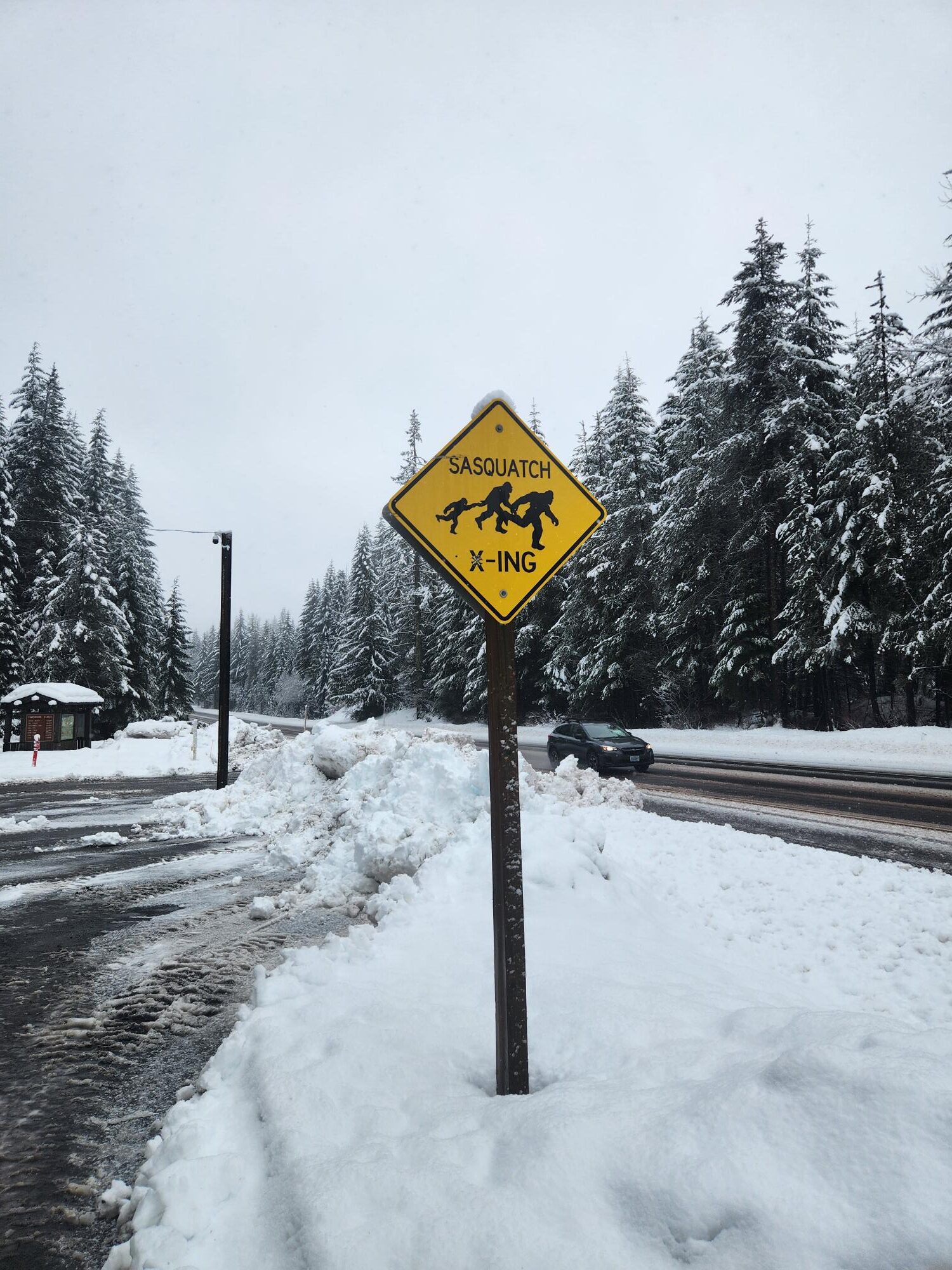
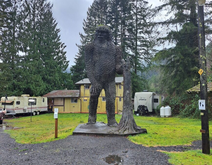
This region of the Cascades is very beautiful. Lush rainforest covers the valley bottom and icy blue glaciers cover the tops of the mountain peaks. There are several volcanoes of note around Mount St Helens which are Mount Rainer, Mount Adams and Mount Hood. St Helens is the most volcanically active of them all but each has had its own episode of volcanism. There are legends of bigfoot and gold, the region is rich with mythical lore
The 5.1 magnitude earthquake that struck Mount St Helens was the primary instigator behind the event. The Magma chamber had been swelling for weeks and volcanologists weren’t sure if or when it would erupt. The earthquake was the biggest in the series of ongoing quakes. This 5.1 earthquake dislodged part of the Mountain which triggered the eruption. So much force was expelled that is was equal to 27,000 nuclear explosions.
Its immense power was showcased to the world on that day and provides invaluable observations about the impacts of future eruptions with in the Cascade Volcanic Arc.
The Cascades are a magical place and have some of the best examples of active volcanoes that can be seen anywhere in the world.
