Nature is a powerful force which has the ability to shape and mold the planet at will. It does this through many violent processes which instigate huge environmental change.
Lava is a powerful force within the toolbox of nature. It shapes and forms many geological formations that we see all over the world. The lava is molten rock that rises deep within the earth.
In this blog we discuss the Chilcotin Basalts flows in the British Columbia interior. A great series of eruptions took place here and forever changed the landscape.
Interior Plateau Of British Columbia
Drive north from Vancouver up Highway 97 through the Fraser Canyon and eventually you will come upon a flat plateau that seems out of place in a mountainous place such as British Columbia. This plateau is covered in grassy farmland and has several rivers that cut through it.
Located between the Coast mountains to the west and Cariboo mountains to the east, the interior plateau is vast. Rolling hills are all that is left of mountains that once poked up into the sky. To the north is the Omenica Mountains, gold was discovered here and the interior plateau was the primary route of travel to access it.
This plateau has experienced some incredible volcanic activity which helped form the landscape we see today. The Chilcotin Basalt Group is a series of lava flows with different compositions corresponding to the specific groups. These lava flows layered on top of each other creating massive lava deposits hundreds of feet deep in places. It forms an igneous province that is 50,000km2 and 3300km3.
Sources of this volcanism were shield volcanoes, cinder cones, volcanic plugs and vents that erupted over millions of years depositing lava over the full area of the igneous province. The cause of the volcanism is still being discovered but it is believed to be caused by back arc volcanism from the subduction of the pacific plate. These volcanoes erupted as late the Oligocene to the present time. In the geologic time scale these eruptions occurred quite frequently every few million years or so. This is hard to grasp considering the lifecycle of humans, geologic time occurs on a massive scale.
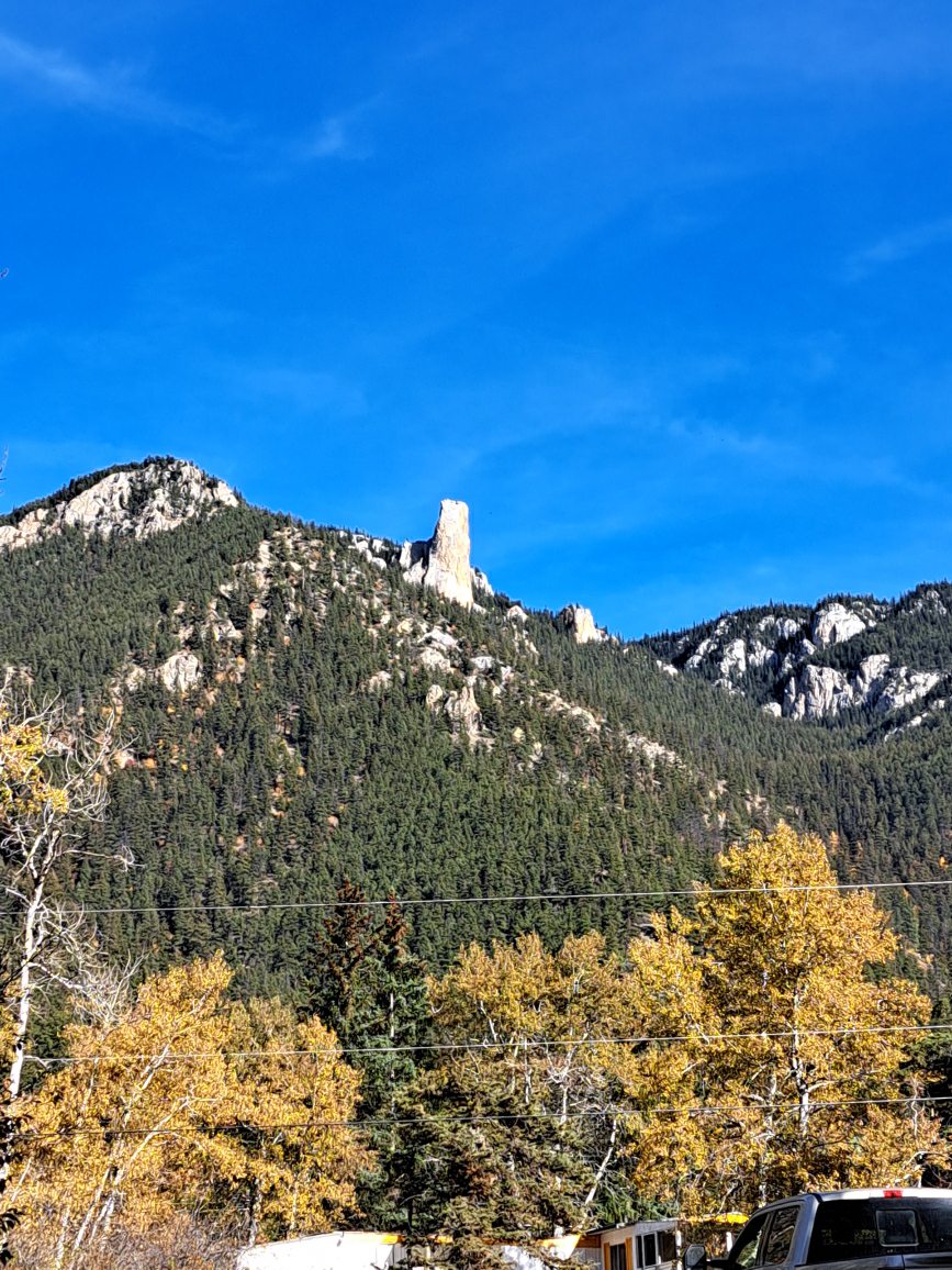
The Chasm outside Clinton BC is a great example of the Chilcotin Basalt Groups. There is a lookout over the Chasm which allows you to se the various lava formations stacked on top of each other. These lava deposits are different colours depending on the layer you are looking at. Pink, Blue, Red, Yellow and many other shades can be seen, each one corresponding to a different geological grouping
There are many valleys within the Interior of British Columbia that exhibit the same characteristics. Driving along the side of the highway you can see various lava formations and layers that have been built up over millions of years. These lava flows traveled a long distance from there origin and created what you see today.
During Miocene and Pleistocene periods this region was quite a different place. Volcanoes were formed and became highly active, erupting huge quantities of lava all over the region. This lava filled in old extinct river valleys with basalt lava which formed palaeovalleys. A palaeovalleys is a buried river channel that no longer flows. The lava flowed in these valleys and filled them up. Glacial activity also contributed to the filling of the ancient river valleys.
One can only wonder if gold was lost to these lava flows. There are a few regions in the are of the interior plateau that are well kwon goldfields and have seen gold rushes take place. The Cariboo Gold rush took place in several locations in the Chilcotin basalt groups. There is coarse placer gold in the area that was deposited during the glacial periods.
Unique Geology Of The Interior
There has been attempts to drill blindly for mineral deposits throughout the plateau. Gold and copper are valuable resources that are required for many items we use every day. How much gold was lost? The gold rushes nearby were very big in scale, so if there are ancient rivers buried under hundreds of feet of lava, could these contain placer gold.
Another aspect to consider is the hard rock deposits that were buried. Gold bearing quartz veins of the surface can extend far below the surface and are potentially much bigger than the surface showing. Leads can branch of in many directions creating some interesting mine layouts. But if these deposits have been covered than it will make it nearly impossible to find. Even if you were to drill and obtain promising core samples of quality ore. The operations and planning required to extract it would most likely make a poor business case for the project. Gold is only worth extracting if the methods for extraction are not to expensive, otherwise it is not considered feasible
Certain regions of the plateau are barren and have little resources other than grazing land for cattle. Ranching is very common here and you can see many ranches dotting the landscape. These grasslands are incredible for cattle and other livestock and provide their own lucrative benefits. There is a huge amount of unused land in the interior and you can go for hours in places and not see any people. Many resource roads branch of the main highway and go to various lakes and camping spots deep in the back country.
The Fraser River cuts through the interior plateau and was a major transportation hub for sternwheelers traveling north to far away goldfields. It winds through many of the volcanic outcrops in the Chilcotin basalts. Dog creek and Big bar are prime examples of locations in which these volcanic features can be seen. As you drive on the dirt roads crossing the region you can see the layers of basalt. This lava was eroded over time to form the valleys that you see today. Gold was also discovered on the Fraser river.
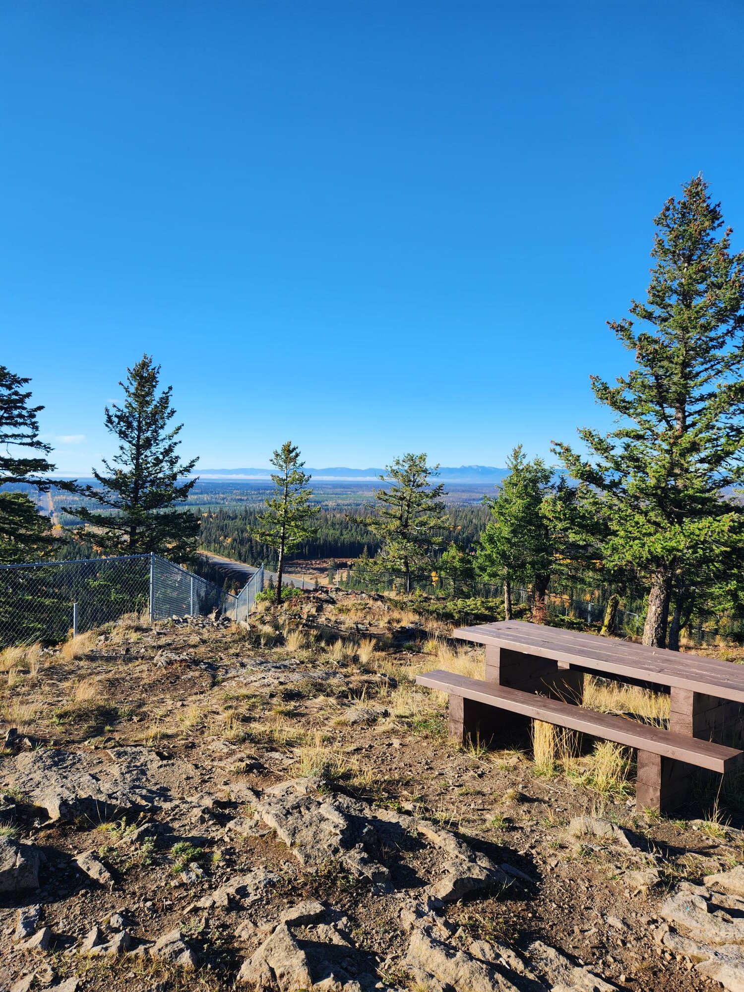
View Atop Mount Begbie
Another river of note is the region is the Chilcotin river, it cuts through the plateau much like the Fraser does, but unlike the Fraser it was less prolific in transportation and mining. It is a glacial feed river with a beautiful turquoise colour. This is due to the minerals and sediment in the water which give it an incredible colour which is pleasing to the eye. Think of the classical blue rivers you see in pictures. There was not much gold discovered on the river and it is not practical for transportation like the Mighty Fraser.
During the winter the plateau becomes very cold and can experience frigid temperatures. Blocked off from the warm pacific air by the coast mountains and the high elevation of plateau creates cold winters with lots of snow. Temperatures of -30C are possible as well as wind chills due to the flat topography and lack of trees.
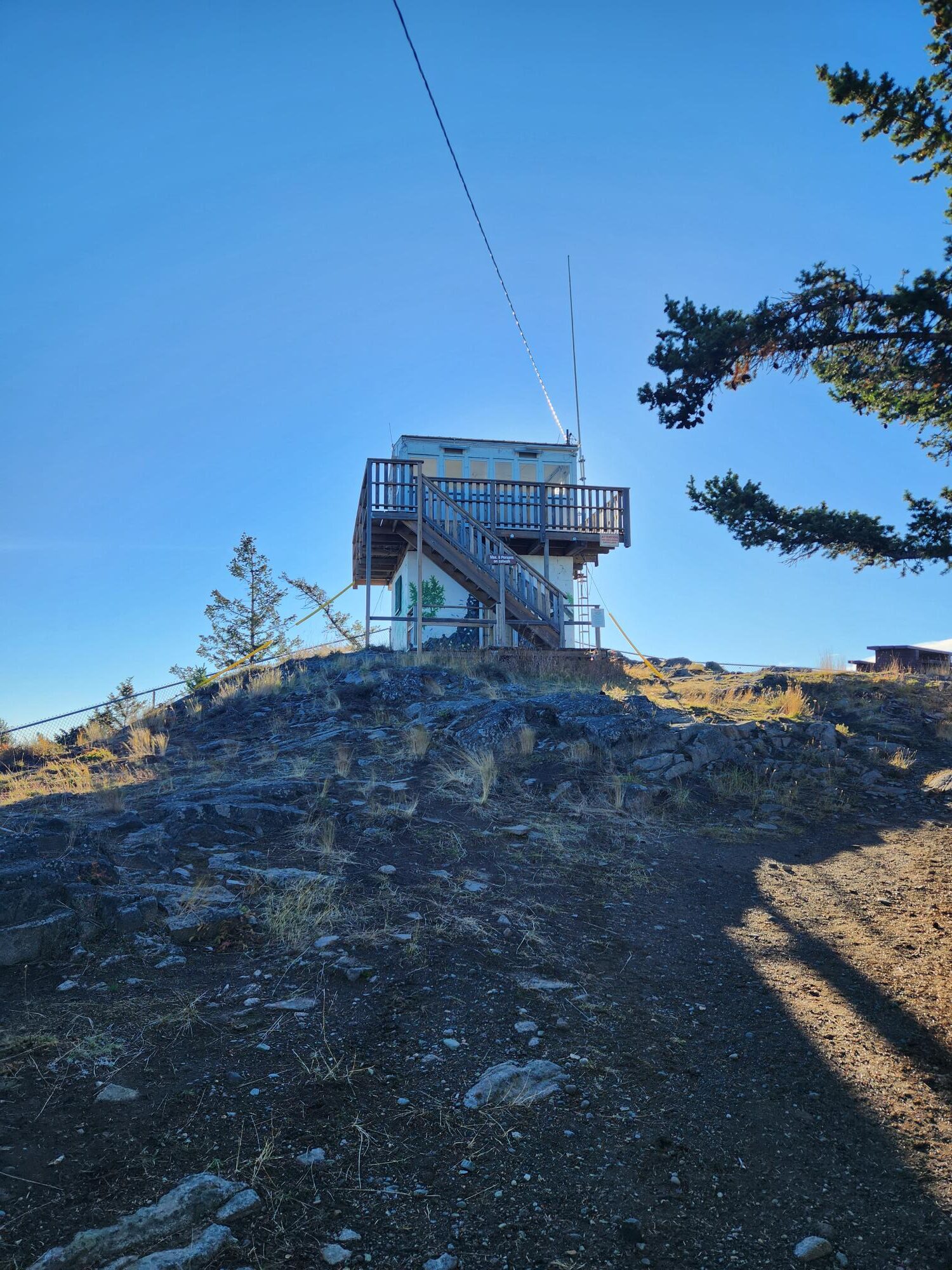
Mount Begbie Fire Tower
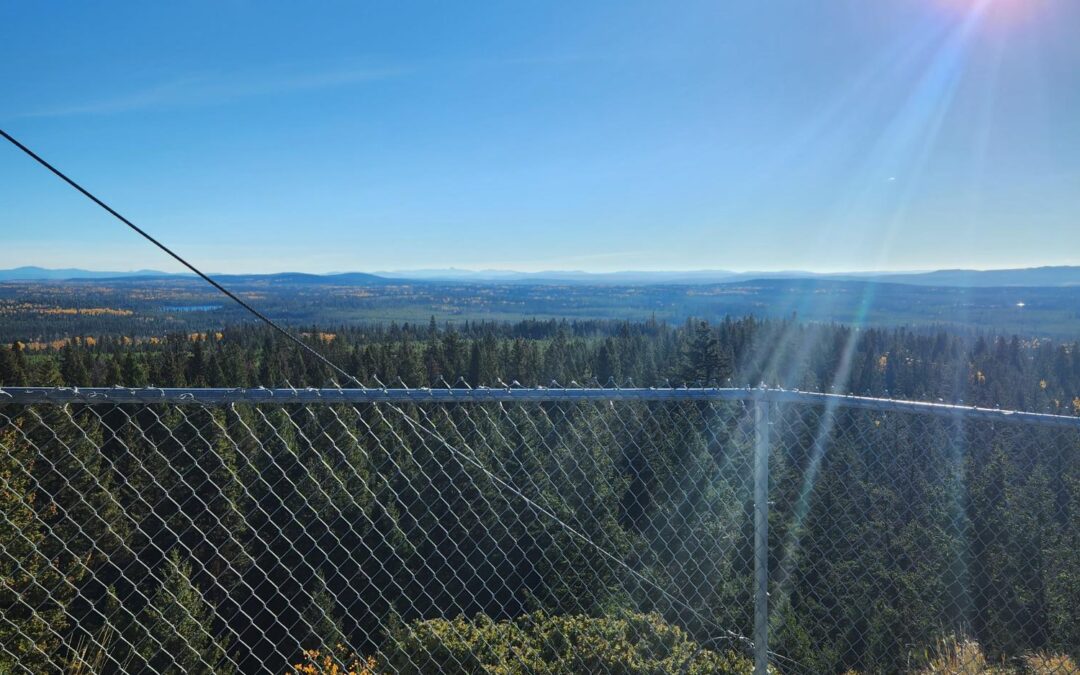
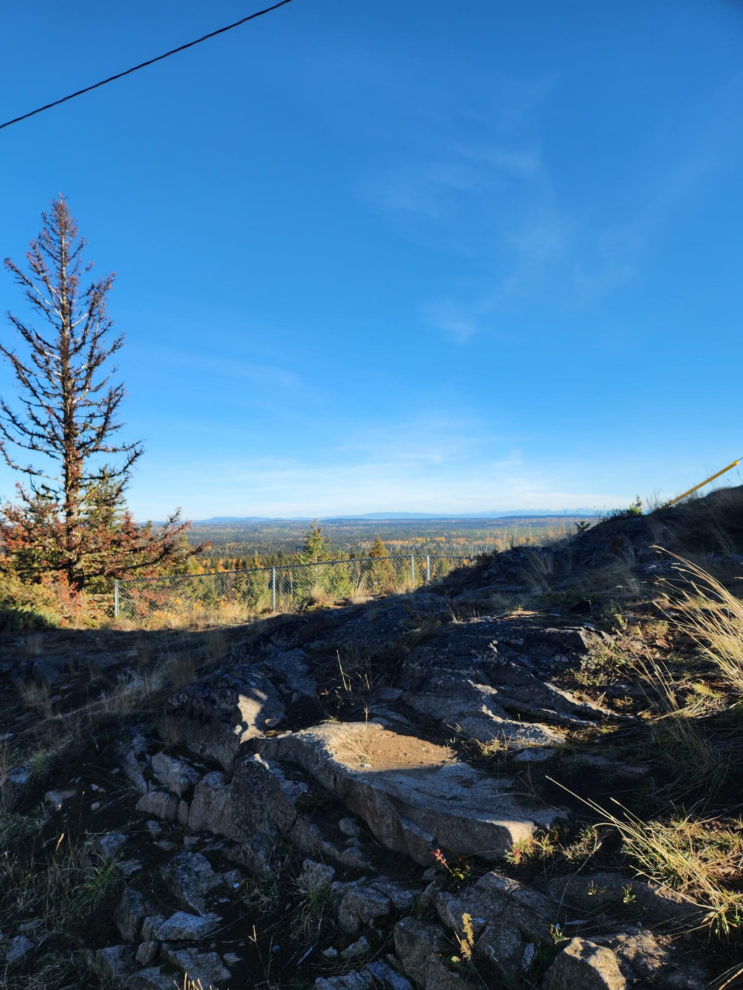
Mount Begbie is a great place to get a look out of the plateau from all sides. It is located in the middle of area of the plateau and provides great 360-degree views of the region. You can see both the Coast and Cariboo mountains as well as the many rolling hills that cover the landscape. There is a fire tower lookout located at the top of the Mountain. Now, it sounds like this is a long hike requiring you to climb a mountain. In actuality it is more like a big hill that requires much less effort than climbing a mountain. This is due to the lava flows that filled up the area around mountain causing it to be more like a very big hill rather than a mountain like most people would think.
At the fire watch tower there is some cool information about the towers history and how they would look to scout fires on the horizon. The lives of the park rangers were very interesting as they would live here for months at a time keeping a lookout for possible fires that start. Mount Begbie is a great place to see the scale of these lava flows and how much they filled up the region.
Today the plateau is relatively flat, the latest episode in the saga was the last age of glaciation which covered the top layer of lava with overburden soil. Nowadays grass and trees grow on top of this creating a beautiful landscape. But underneath the surface lies many mysteries to be uncovered.
Exploring British Columbia is a fun and exciting experience. Taking a road trip through the interior of the province exposes you to all kinds of nature, geology and history. The towns along the way are all every interesting and provide insight in the culture of northern Canada.
Who knows, maybe the next gold rush will be discovered out on the interior plateau or potentially the next big mineral rush!
